
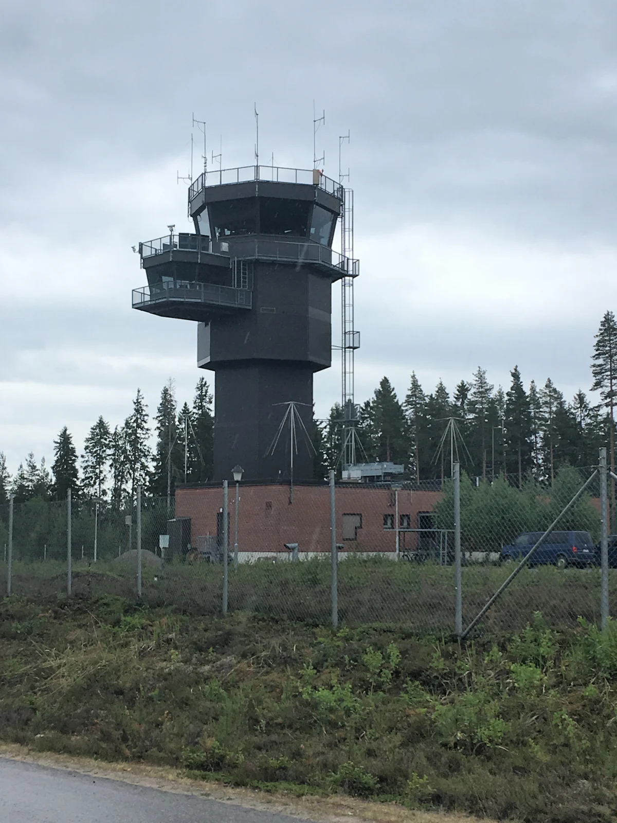
Control tower · 19 June 2018
Ohikulkija / Wikimedia Commons · CC BY-SA 4.0

Resized; display crop.
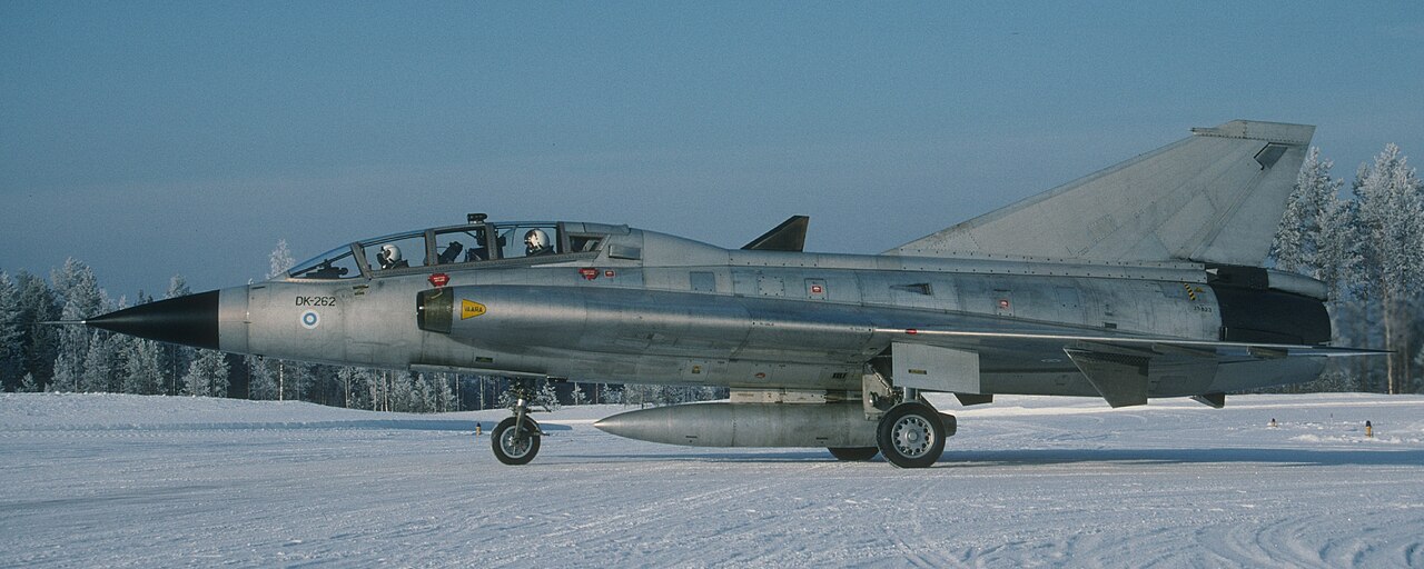
Kuorevesi · February 1994 · historical photograph
Jyrki Laukkanen / Suomen Ilmailumuseo · CC BY 2.0

Cropped version: Blockhaj; display crop.
The photographs show Halli’s aviation environment and history, not the readiness of a current UAS testing service. They will later be replaced with original project photography.
Image use and future replacement
Photographs were selected under open licences. Author, source, licence and cropping are stated in each caption. These photo licences do not apply to the rest of the website.
The drone image on the homepage is a concept illustration from the original uashalli.fi site, not a documentary photograph of Halli. It is temporary concept imagery to be replaced with original project assets.
Aerial/satellite map: Esri World Imagery, Vantor, Earthstar Geographics and the GIS User Community. Street map: OpenStreetMap contributors. Attribution is also displayed on the map. Map imagery is not stored as the site’s own photography.
Checked 23 October 2026. Readiness reflects published development plans; operational service availability has not been confirmed.
UAS Halli ↗ · TULE / Jämsä ↗ · Investment project ↗ · Finavia ↗