
Halli on the map. Possibilities all around.
Explore the airport, village, forests and lakes. Switch between imagery and a street map, or zoom out to see Halli within southern Finland.
Loading map…
Markers are indicative. This map does not show approved testing boundaries, access rights or flight authorisation. Imagery dates vary and do not establish the current construction status.
Open location in a separate map ↗A setting for demanding testing
Halli combines airport infrastructure, aviation industry expertise and a diverse surrounding landscape.
The development programme aims to connect land, airspace, operations facilities, communications, data management and sensing. Finland’s changing seasons support planning for varied environmental conditions. The availability of each capability must be confirmed for the proposed test.
A strong foundation. Services developing in stages.
| Component | Stage | What does this mean for a testing team? |
|---|---|---|
| Aviation infrastructure | Existing | Halli Airport and its aviation industry setting. Access and operating arrangements require separate agreement. |
| Operations centre, data and communications | In development | Included in the 2026–2027 investment project. Commissioning dates must be confirmed. |
| FAST / FLEX testing pathways | Under approval | The operating model is under approval. Test suitability and the required procedures are assessed case by case. |
| Test-specific airspace and permissions | To be confirmed | Area, flight heights, permissions and safety arrangements must be confirmed before execution. |
Existing infrastructure does not imply an immediately bookable UAS service. Confirmed areas, capacities and available test slots will be added as they become available.
What do you need to find out?
UAS and autonomous systems
Flight behaviour, navigation and system interoperability.
Defined during preparationTest objective, aircraft, operating concept and space requirements.
Describe your requirements ↗Sensors and situational awareness
Detection, measurement data and sensor fusion.
Defined during preparationMeasurement targets, reference data and assessment criteria.
Describe your requirements ↗Communications and data acquisition
Link performance and data collection under different conditions.
Defined during preparationConnectivity needs, data ownership, storage and transfer.
Describe your requirements ↗C-UAS and security technologies
Planning evaluations of detection and protection solutions.
Defined during preparationSuitability, legal authority and required official arrangements.
Describe your requirements ↗These are examples of intended development, not a statement of available services.
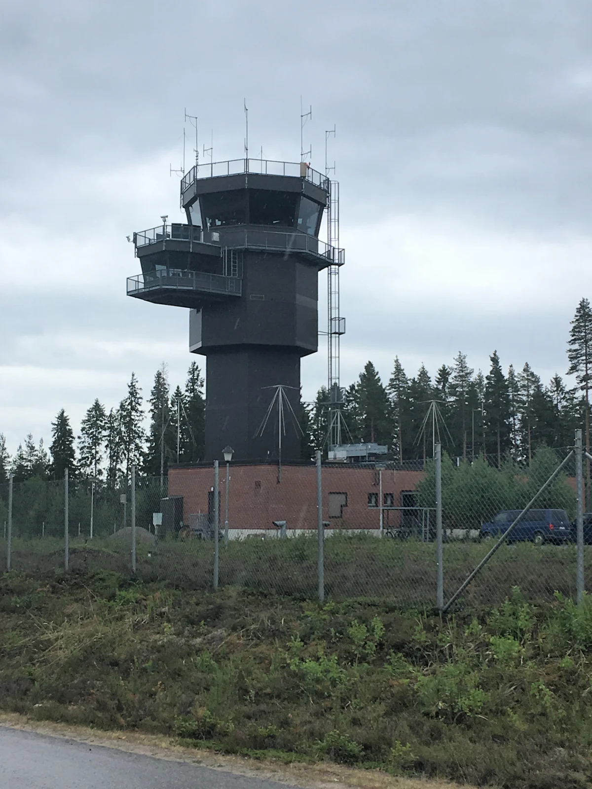
Control tower · 19 June 2018
Ohikulkija / Wikimedia Commons · CC BY-SA 4.0

Resized; display crop.
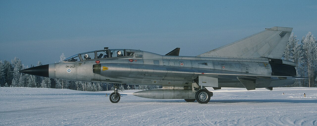
Kuorevesi · February 1994 · historical photograph
Jyrki Laukkanen / Suomen Ilmailumuseo · CC BY 2.0

Cropped version: Blockhaj; display crop.
The photographs show Halli’s aviation environment and history, not the readiness of a current UAS testing service. They will later be replaced with original project photography.
Checked 23 October 2026. Readiness reflects published development plans; operational service availability has not been confirmed.
UAS Halli ↗ · TULE / Jämsä ↗ · Investment project ↗ · Finavia ↗